Mont Pelat is the 3,000 metres mountain in the Southern Alps which is the easiest to walk up with only 900 metres uphill starting from the Laus car park under the Lac d'Allos. Furthermore, signposts and yellow painted marks will guide you right to the top, and there are no technical difficulties.


















At the entrance of the village of Allos, take the road towards the Lac d'Allos, preferably before 7 AM. Why 7 AM? Because it is only from then that you must pay for the car park (10 € in 2022). But mainly because you will want to get back early in the afternoon, before the showers and thunderstorms which frequently occur any time after 2 PM in this area.
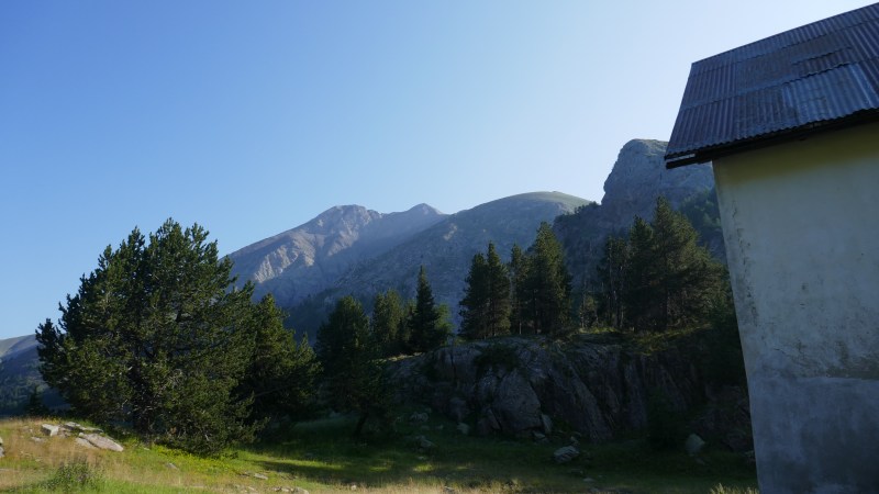
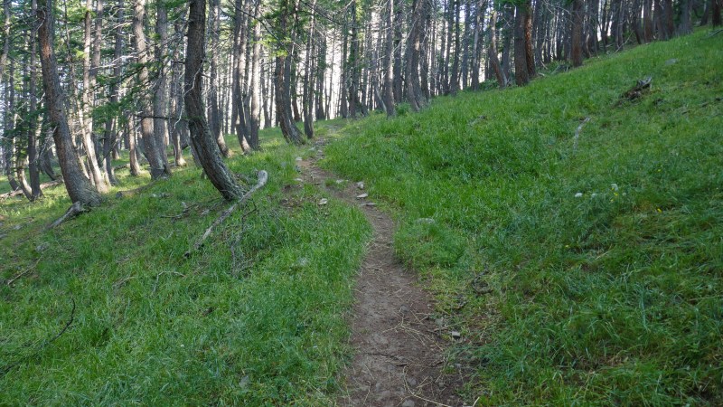
From the Laus car park, follow the signposts to the Lac d'Allos: cross the plain with the forest house and start walking up the wide track. The next signpost shows where to turn left towards the Mont Pelat, up a little path in the forest.
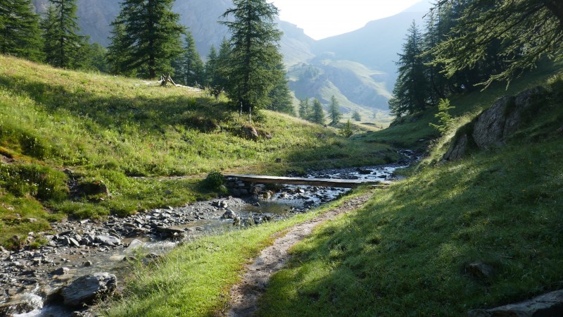
You will quickly reach a large and flat meadow, at the end of which yet another signpost will put you in the right direction, starting by crossing the Ravin de Méouille stream on a little wooden bridge.
The path climbs up between the grass and the flowers, to reach the one coming down from the Col de la Petite Cayolle, from where arrive the hikers which started at the Col de la Cayolle.
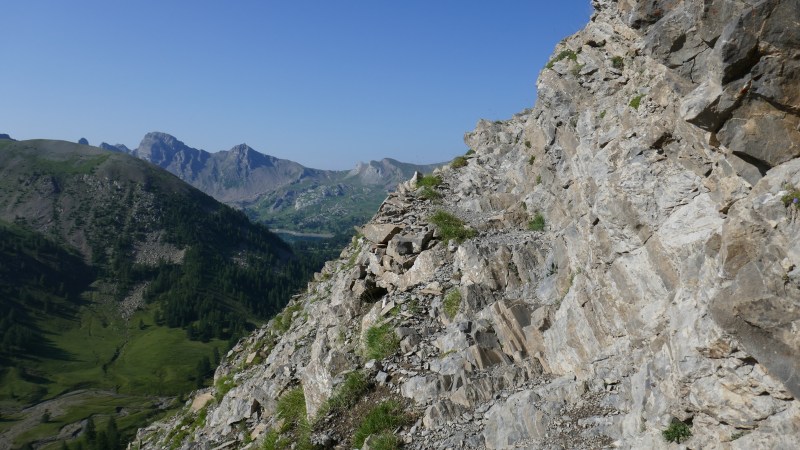
The next stage consists in crossing the rocky Barre du Pelat, without any technical difficulty because the path is always at least one metre wide and avoids the steepest areas. You will then reach the Combe du Pelat, a vast and slopped meadow, through which the path makes large turns.
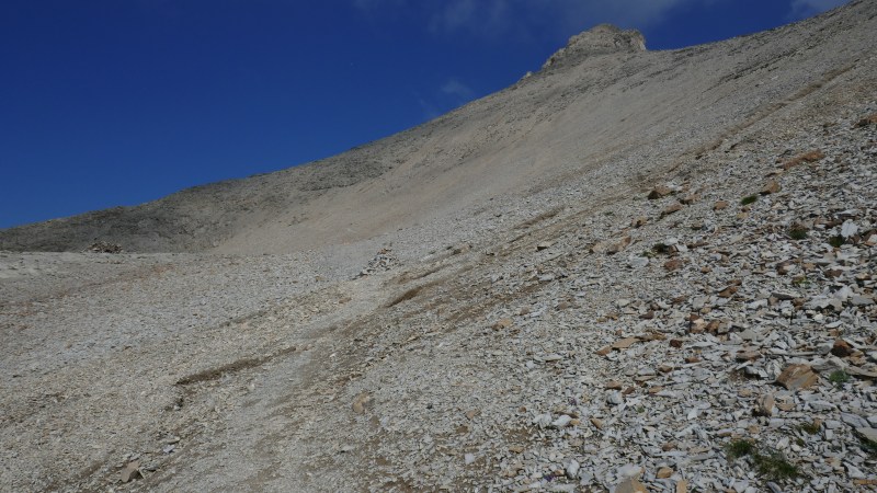
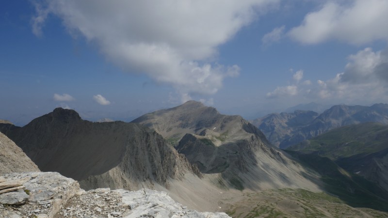
Around 2,700 metres, the environment becomes much mineral, nearly lunar, but progress remains easy, thanks to the gentle slope of the path. At 2,900 metres, you will reach the ridge, and be able to see the northern side of the Mont Pelat, and its close neighbour, the 3,020-high Cimet.
You are now very close to being under the actual summit, where the many yellow painted marks will guide you, and you will probably not even need to use your hands. The path finally circles around the summit by the right, to bring you to less than three metres from the top of the Mont Pelat, at 3,051 metres.
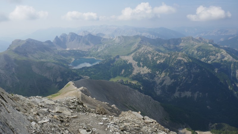
Return following the same path, perhaps taking a chance to visit the Lac d'Allos from the signpost just after the wooden bridge.